What the notice establishes
The September–October materials mention a vehicle reconnaissance and a further walking proposal. The walking path, distance, time and meeting point remain unconfirmed.[12]
Proposed places along the stage
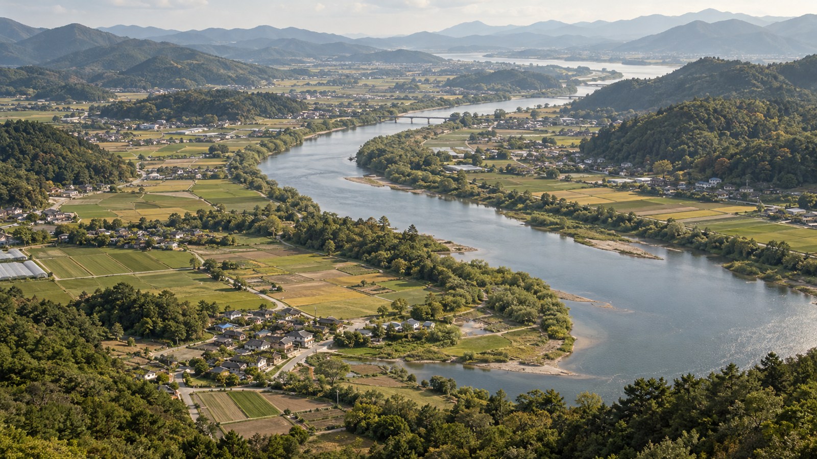
The proposal connects Yonggyewon in Unju-myeon with Singgeuraengi (Yodong village) in Gyeongcheon-myeon, inviting encounters with local memory in village names and rural life.[12]
The name Singgeuraengi
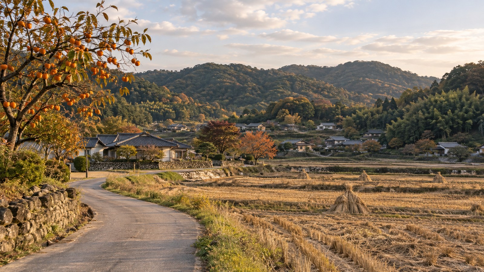
Wanju’s place-name account identifies Singgeuraengi as another name for Yodong. Discover local stories through village names and residents’ everyday lives.[14]
Stage distance
Distance: to follow field surveys. Stages 01–04 organise the journey by region. Check walking conditions and current operating information before departure.
Before departure
Check road safety, trail access, water, toilets, hazards and detours. Choose endpoints and return transport, and adapt your schedule to fitness and weather.
A question to carry
What memories do village names and rural daily life carry? Reflect on visiting with respect for local life as you look across the fields.
Dashed lines show the trail development proposal linking places and regions. Pins reveal shrines, address-based places and regional centres with their stories.
View these places on the map ↗