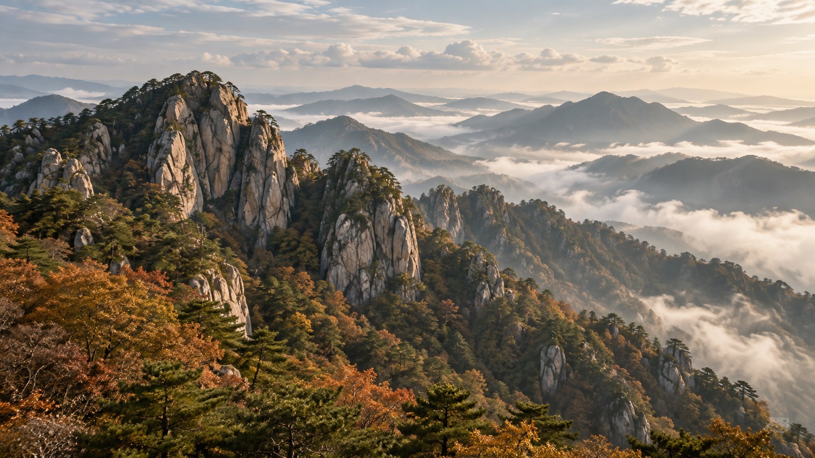
Dashed lines show the trail development proposal linking places and regions. Pins reveal shrines, address-based places and regional centres with their stories.
Map and satellite tiles require internet access. The coordinate overview and place list below also work offline.
My visit notes
Choose Add, then select a location on the map. Personal notes are saved only in this browser and can be downloaded.
Geographic overview · Offline view
How to read this map
Dashed lines show the trail development proposal linking places and regions. Pins reveal shrines, address-based places and regional centres with their stories.[13]
What satellite imagery can tell you
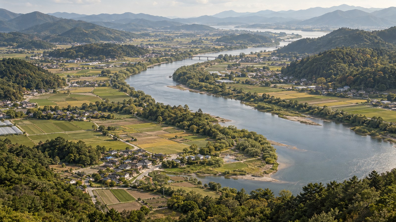
Explore the relationship between mountains, plains, towns and villages in the satellite layer. Prepare a visit using current access information and local conditions.
Toward a surveyed trail
Walking GPS tracks and field surveys underpin stage-by-stage route information. Access status, hazards, detours and facilities inform visitor guidance.
From wayfinding to visit notes
Read the history of places and local stories on the map, then record your visits. Personal pins are saved in this browser and can be downloaded as a notes file.[16]

01 · Jinsan to Daedunsan
A proposed stage connecting faith’s beginnings and the mountain foothills.
Read the story ↗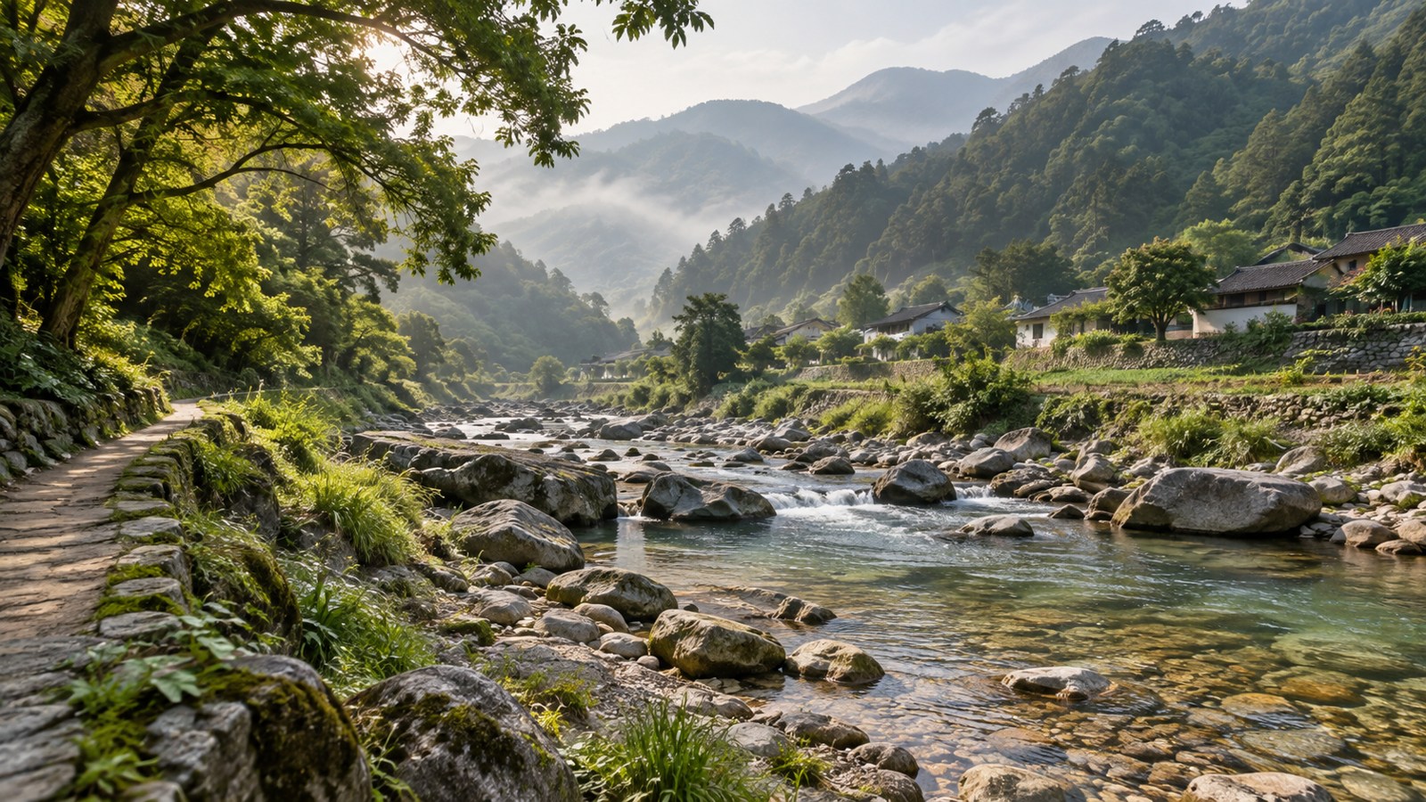
02 · Daedunsan to the Unju area
A survey proposal through villages and valleys.
Read the story ↗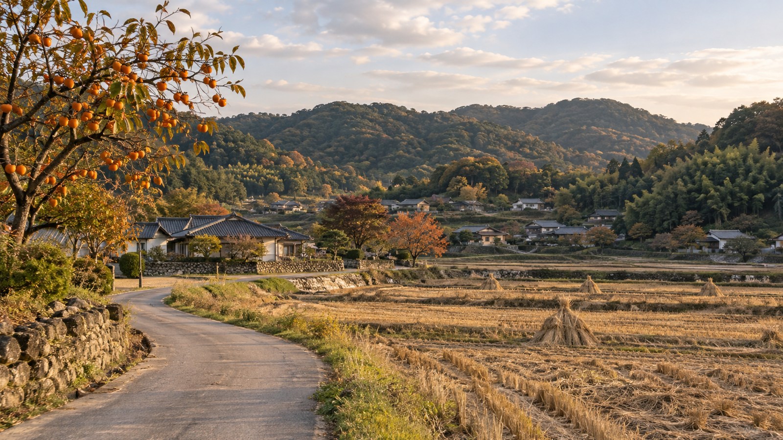
03 · Yonggyewon to the Singgeuraengi area
A further proposal connecting Wanju’s village memories.
Read the story ↗
04 · Gosan and Samnye to Jeonju
A proposed connection toward the city’s historical places.
Read the story ↗